Typhoon Kajiki approaches Vietnam while storms across the globe generate dangerous swells. Image Credit: DD News
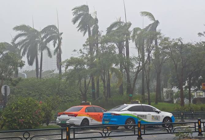
(The Post News)– Vietnam has evacuated more than half a million people as Typhoon Kajiki moves toward landfall near the city of Vinh on Monday. Authorities cancelled flights and suspended boat services, urging residents to prepare for heavy rains, strong winds, and potential flooding.
Kajiki developed on 23 August as it crossed the South China Sea and quickly strengthened. By the weekend, sustained winds had climbed above 100 mph (160 km/h). The storm brushed past Hainan, a southern island province of China, where officials raised a red alert—the highest warning in the country’s weather system.
While Asia braces for Kajiki, the Atlantic and Pacific have also seen powerful storms. Hurricane Erin, though it remained roughly 200 miles (320 km) offshore from the U.S. last week, still generated widespread effects. Beaches were eroded, houses were flooded, and swells reaching 50 ft (15 m) were recorded by buoys in the Pacific. Along the U.S. coast, waves of about 20 ft battered seaside towns.
Even after Erin transformed into a post-tropical cyclone with sustained winds of 90 mph, it continued to drive huge swells across the North Atlantic. Forecasts suggest Erin will stall northwest of Britain this week, weakening but still pushing dangerous waves toward Europe. Surfing hotspots such as Mullaghmore in Ireland and Nazaré in Portugal are preparing for waves above 20 ft on Tuesday.
Elsewhere, Brazil faced massive surf caused by a deep low-pressure system in the South Atlantic, where a record-breaking 48 ft wave became the largest ever surfed in the country. Another system, Tropical Storm Fernand, emerged after Erin but is unlikely to strengthen due to cooler waters left in the storm’s wake.